Detailed, crystal-clear maps
Fleetilla's systems are integrated with state-of-the-art mapping providers for displaying equipment location and status data. Our maps are detailed, current, and beautifully rendered.
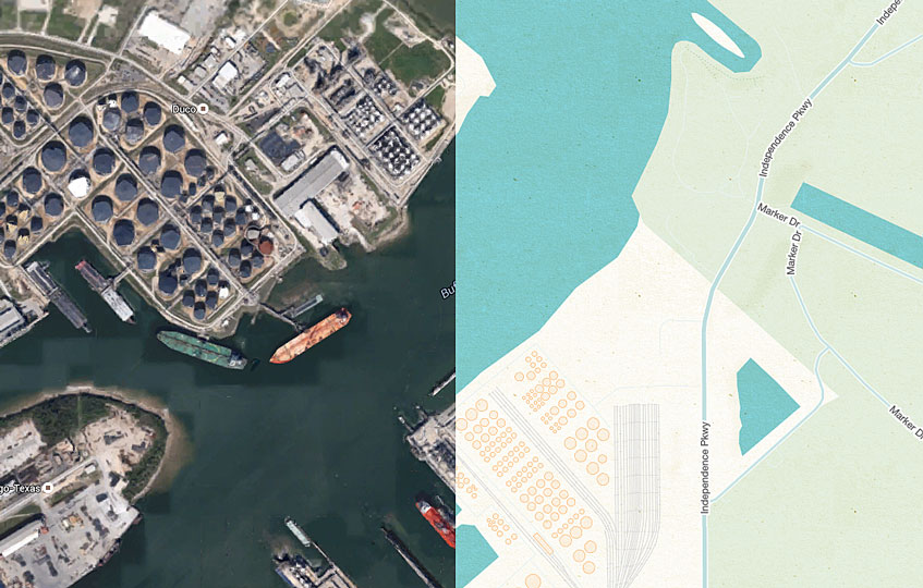
Satellite, aerial and street views
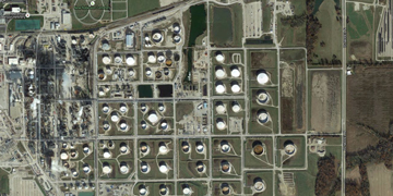
Additional context for equipment data can be established via satellite, aerial, or street views (where available).
Mapping icons for instant equipment ID

To provide instant identification of specific equipment or equipment groups, Fleetilla provides a wide range of icon choices:trucks, gen-sets tanks, cranes, letters, numbers and more.
Define points and zones of interest, job-sites, geo-fences, etc. for viewing against equipment location information
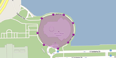
Locations with special significance for your business (your warehouses, office, routine customer delivery addresses, etc.) can be defined in your own terminology for optimized map interface. Likewise, geographic areas (zones, geofences) can be defined and identified as they relate to your fleet's operations (arrival and departure, entry/exit violation, unauthorized usage, etc.).
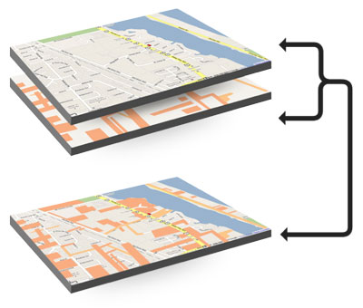 Custom maps, map layers, and choice of providers
Off-the-shelf map solutions are often limited by fixed data. But Fleetilla allows you to customize the mapping platform by incorporating information such as pipeline data, oil field locations, detailed campus/plant maps, etc. Choose among map data providers, unique reverse geo-coding (place names), and other detail options that standard, off-the-shelf solutions simply do not offer.